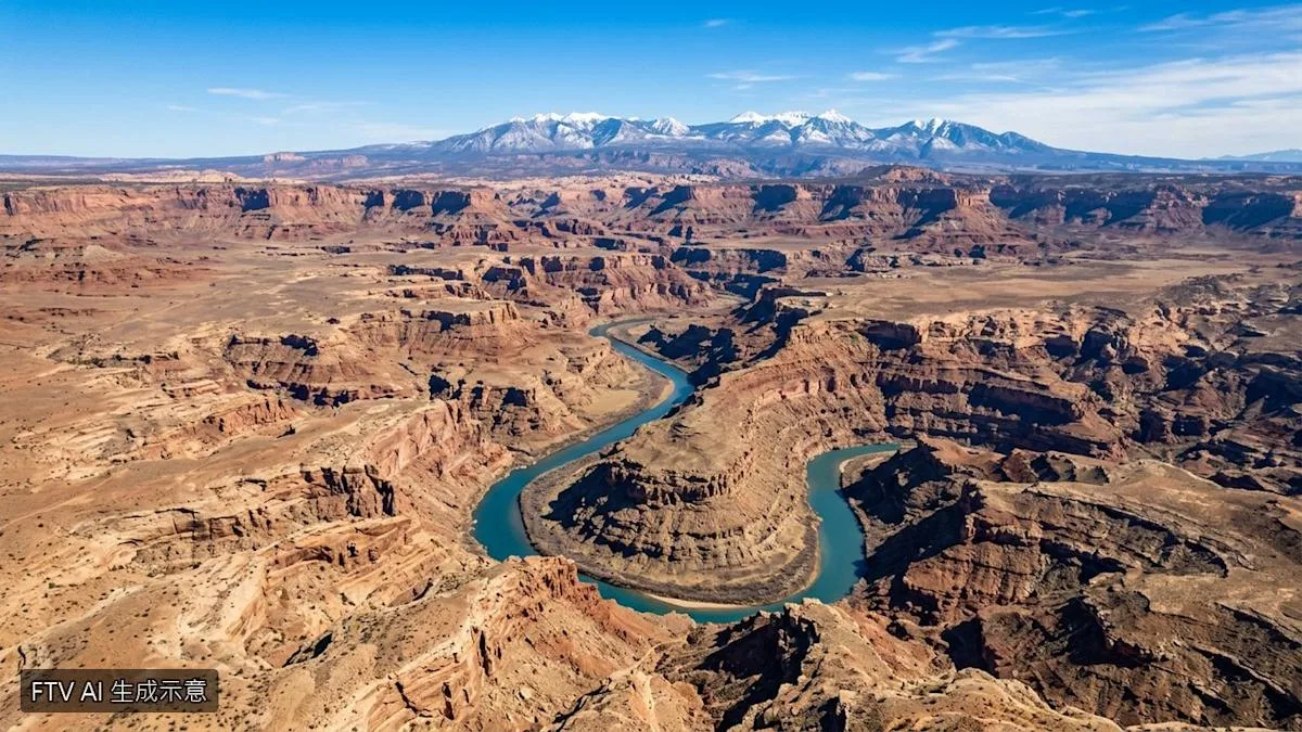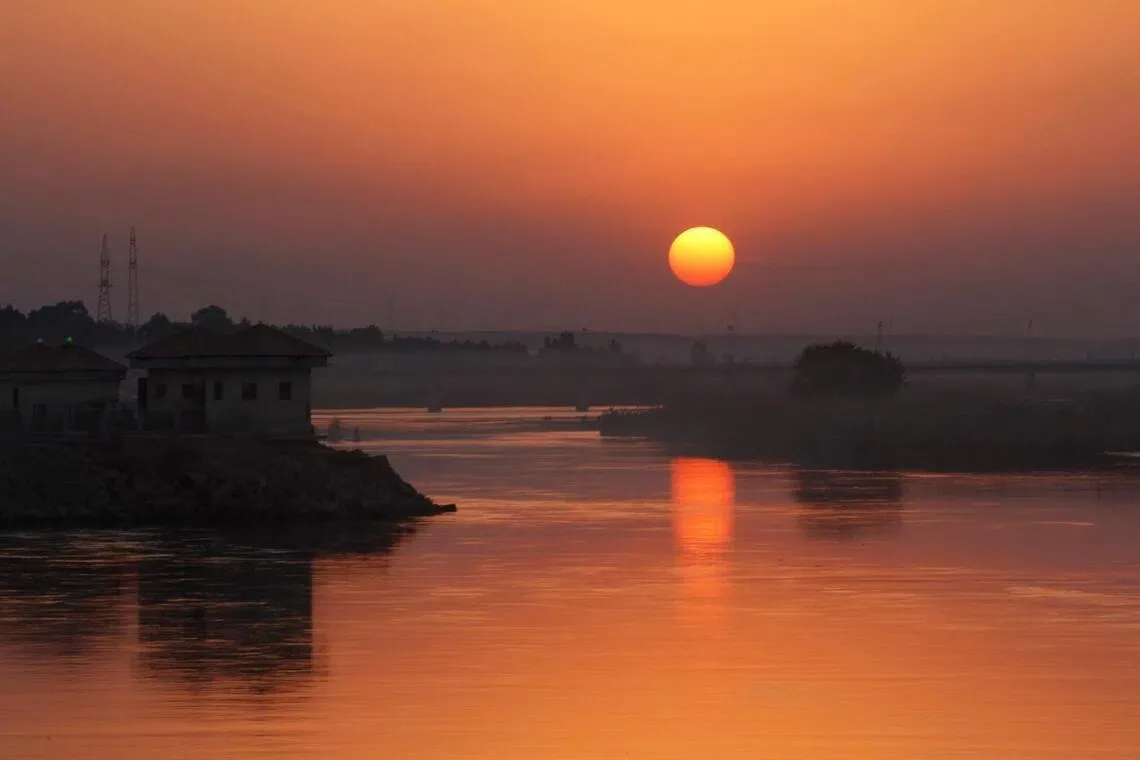
The Euphrates River formed between 3.6 million and 1.6 million years ago after two ancient rivers merged due to tectonic activity in the Taurus Mountains of southern Turkey [1, 2]. The two rivers were early predecessors of today’s Karasu and Murat rivers, which initially flowed separately into the Mediterranean Sea [1, 2].
Seismic imaging revealed buried ancient river channels beneath the Mediterranean basin dating back over 5 million years, confirming these rivers once discharged separately into the sea [1, 2]. Tectonic movements and earthquakes eventually redirected the Murat River’s course toward the Persian Gulf, where it joined the Karasu River, creating the Euphrates [1, 2].
The Euphrates is now the longest river in Southwest Asia at about 2,800 kilometers, flowing from Turkey through Syria and Iraq before emptying into the Persian Gulf [1]. Major modern cities along its banks include Birecik in Turkey, Raqqa in Syria, and Ramadi, Fallujah, and Nasiriyah in Iraq [1].
Ancient metropolises nourished by the Euphrates, such as Uruk, Ur, Mari, and Babylon, were cradles of early civilization and the birthplace of written language [1, 2]. Simon Lang said the discovery helps understand key milestones in human history on the Mesopotamian plain, including agriculture, writing, and urban development [2].
Researchers used seismic imaging techniques, which employ sound waves to map underground rock layers, as a critical tool in uncovering the river’s deep history [1]. The findings clarify how tectonic shifts redirected the river system from the Mediterranean basin to the Persian Gulf.
The scientific timeline shows that more than 5 million years ago, two separate rivers flowed independently to the Mediterranean, while the merging event occurred between 3.6 and 1.6 million years ago [1, 2]. Further studies may enhance understanding of the region’s geological and cultural evolution.