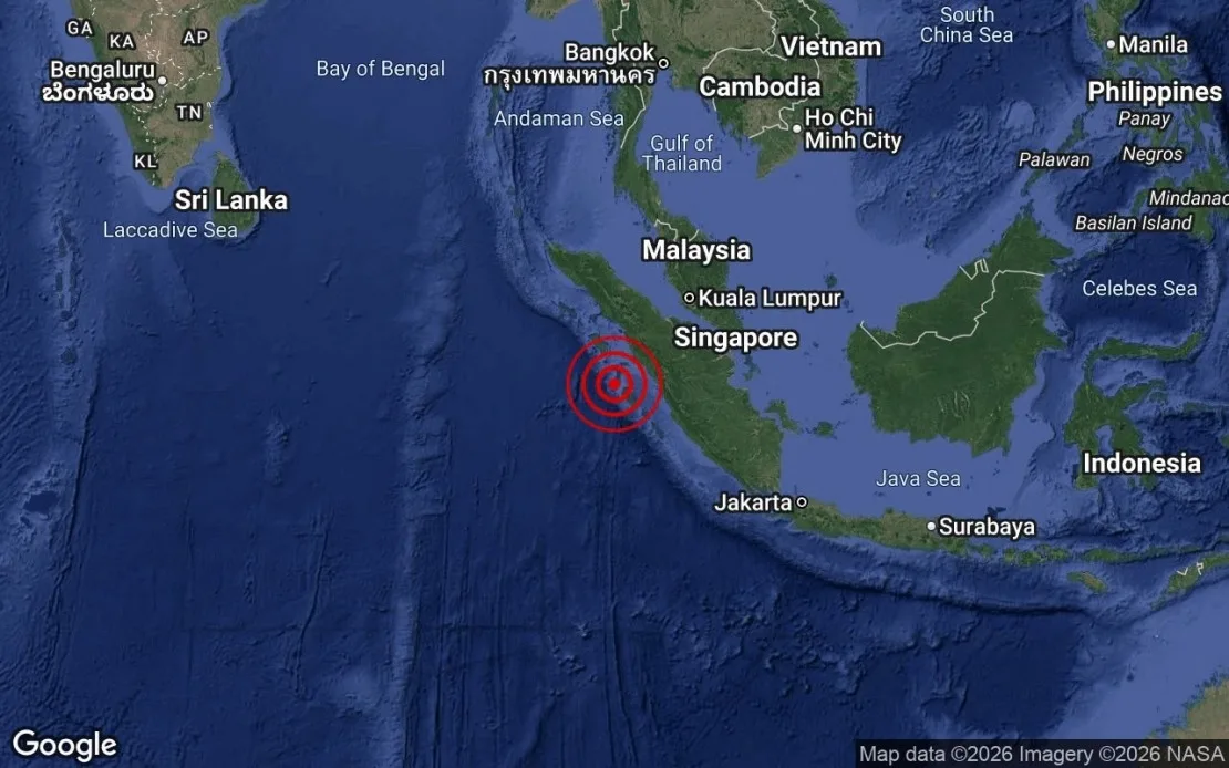
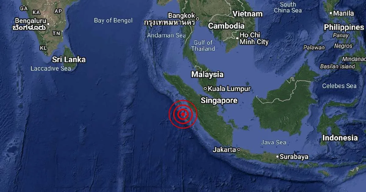
A moderate earthquake measuring 5.8 on the Richter scale struck southern Sumatra, Indonesia, at 2:02 pm local time on August 18, 2026 [1, 2]. The quake's epicenter was located at 0.8 degrees south and 98.3 degrees east, approximately 102 kilometers northwest of Siberut Island [1, 2]. It occurred at a depth of 44 kilometers beneath the Earth's surface [1, 2].
Authorities confirmed there was no tsunami threat to Malaysia from the earthquake [1, 2]. The quake was detected by regional seismic monitoring stations, which noted the intensity and location of the tremor [1, 2].
Some earlier reports had conflicting information about a separate earthquake of magnitude 5.9 in Indonesia's Flores region on August 17 at a shallower depth of 10 kilometers, but these are considered distinct events from the Sumatra quake [3, 1, 2].
The next update on seismic activity in the region is expected as monitoring continues for any aftershocks or related events following today's earthquake.