Singapore has avoided around S$300 million in unnecessary construction costs since 2024 by identifying potential clashes between underground utility projects before construction begins, the Urban Redevelopment Authority reported [1, 2, 3, 4, 5].
The government has scrutinized 272 kilometers of underground utility routes using an enhanced workflow introduced in 2024. This workflow helps identify and resolve conflicts involving water pipes, power cables, telecommunications networks, and gas lines owned by various agencies early in the planning stage [1, 2, 3, 4, 5].
Undetected clashes typically cause repeated road openings, delays, and cost overruns, inconveniencing the public. The new process aims to minimize these disruptions through better coordination across agencies [1, 2, 3, 4, 5].
Major infrastructure projects applying the workflow include the Land Transport Authority's Tuas Road Viaduct Phase 2, the Changi Northern Road corridor, and the Housing Development Board's Tengah New Town Phase 4 [1, 2, 3, 4, 5].
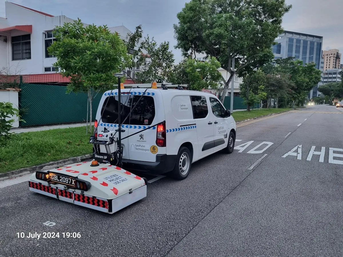
Singapore has also deployed non-invasive detection technologies like electromagnetic locators and ground-penetrating radar to create more accurate maps of underground utilities before digging. These are supplemented by trial trenches—narrow ditches used to investigate underground conditions [1, 2, 3, 4, 5].
The government plans to expand the use of these detection tools while the Ministry of National Development collects data and builds improved digital records of the underground space [1, 2, 3, 4, 5].
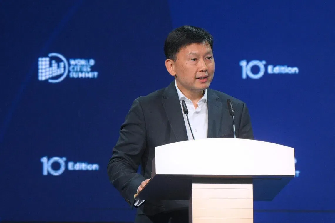
Minister for National Development Chee Hong Tat said, "Having a reliable, shared picture of this complex warren means less exploratory digging and less disruption." He added, "My hope is that we will work towards having a digital twin of our underground space, just as we do t [5]."
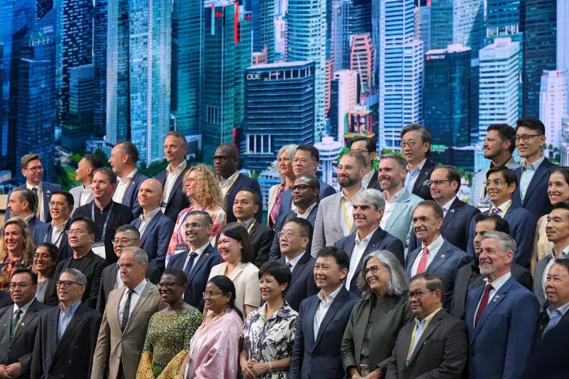
Chee announced the progress and cost savings on June 14 at the World Cities Summit 2026 Mayors Forum [1, 2, 3, 4, 5].