Singapore's National Parks Board (NParks) issued a tender on August 25, 2026, to map the extent of coastal and marine habitats as well as coastline types across mainland Singapore and offshore islands and reefs, excluding the waters around Pedra Branca [1, 2, 3, 4].
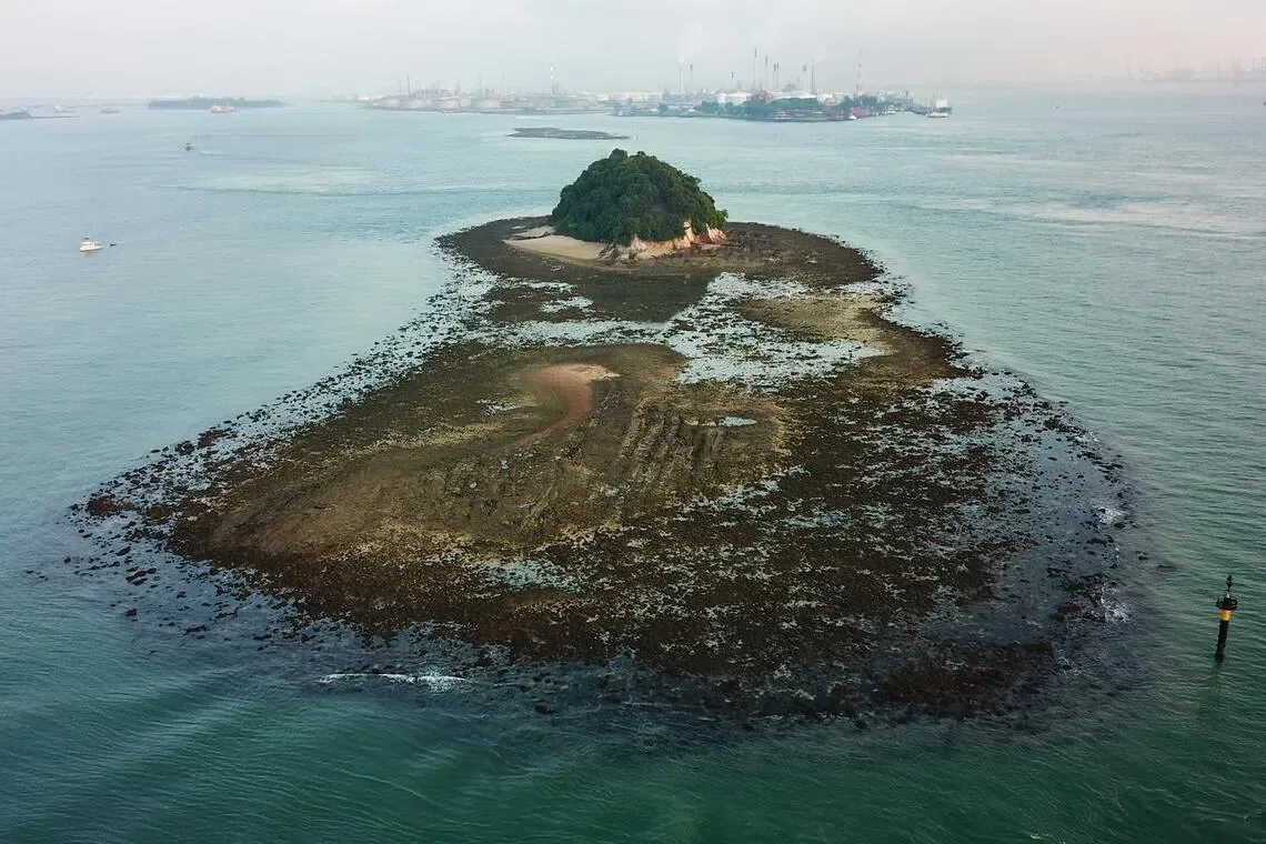
The mapping will update previous habitat maps from 2011 and 2018 using high-resolution satellite imagery combined with ground verification at key sites such as Pulau Ubin’s Chek Jawa and Pulau Semakau [1, 2, 3, 4]. According to Dr. Karenne Tun, Group Director of NParks’ National Biodiversity Centre, "This will build on the previous Coastal and Marine Habitat Map 2011 and Coastal and Marine Habitat Map 2018, and quantify any changes to the habitats since 2018. The updated map will support sea-space and conservation planning across Singapore, and complement ongoing and future research studies under NParks’ Marine Climate Change Science Programme and other agencies." She added that the geospatial dataset will be made publicly available [1].
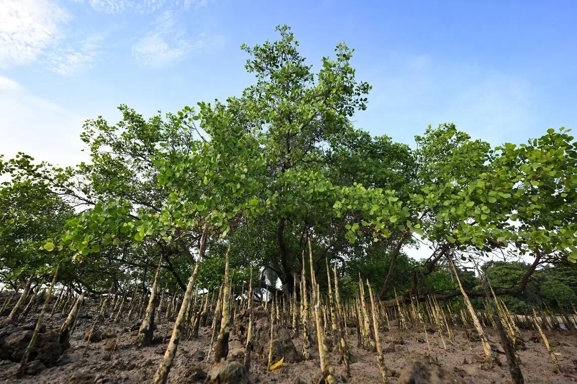
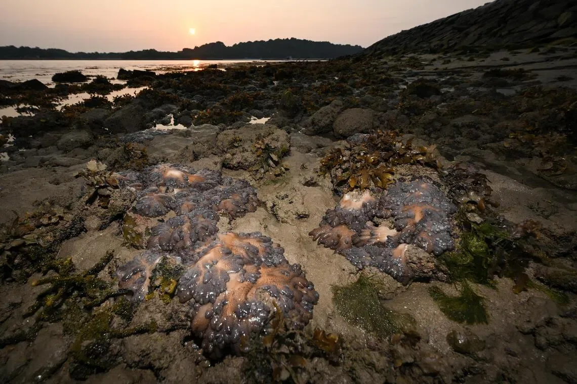
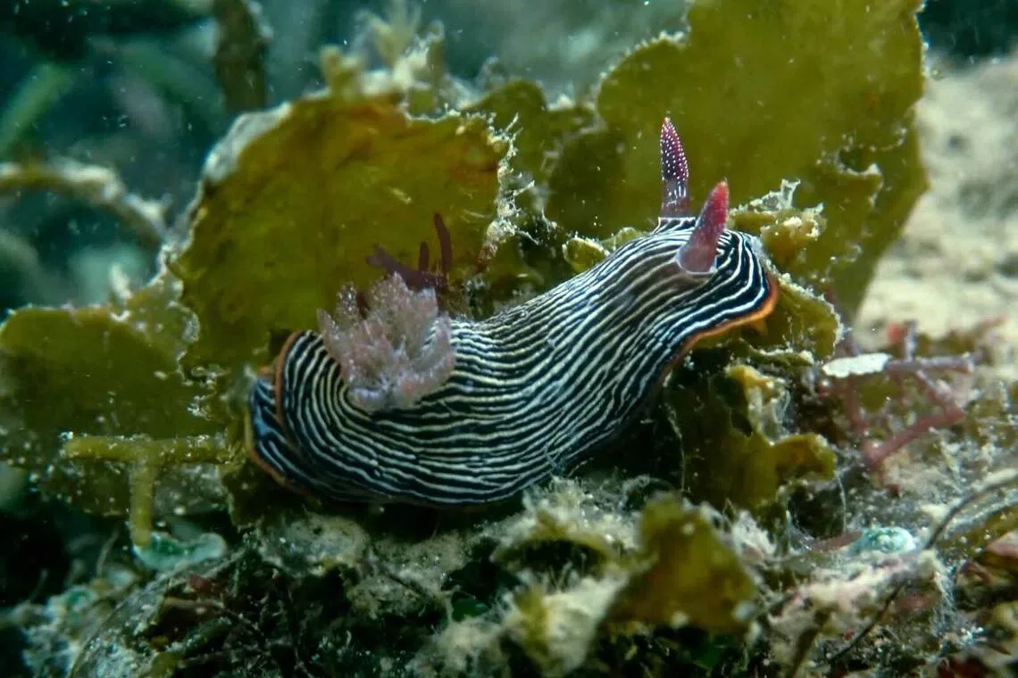
The study aims to quantify habitat changes from 2011 through 2026 to assist with planning for sea space and conservation priorities. The mapping also aligns with research on marine climate change effects such as sea-level rise, storm surges, and marine heatwaves, which may be impacting coastal habitats recently [1, 2, 3, 4]. Marine scientists note that since 1953, Singapore has lost over two-thirds of its coral reefs, more than 45% of seagrass, and about 85% of mangroves and tidal flats primarily due to land reclamation and coastal development [2, 3, 4].
The tender closes on September 21, 2026. The mapping exercise is expected to take approximately 15 months to complete [1, 2, 3, 4].
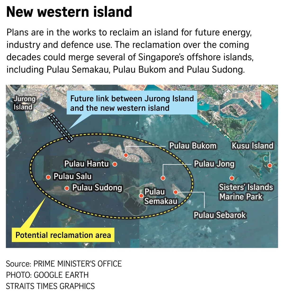
The mapping is especially timely following Prime Minister Lawrence Wong’s announcement on August 23, 2026, to create a ‘western island’ by merging Pulau Semakau and southern islands including Pulau Bukom and Pulau Sudong through reclamation for industries, energy, and defense uses [1, 2, 3, 4]. Huang Danwei, Deputy Head of the Lee Kong Chian Natural History Museum at the National University of Singapore, said, "The results from the study will be critical for mitigating the impacts of ongoing coastal development projects and planning upcoming projects. Accurate maps will provide a reference point to measure changes post-construction and help reshape reclamation profiles to avoid destroying productive coral reefs." [2]
The updated maps will help manage Singapore’s shorelines and marine habitats amid rapid coastal transformation. The resultant geospatial dataset will be released to the public, continuing NParks’ efforts to monitor and sustain the Republic’s coastal biodiversity [1, 2].