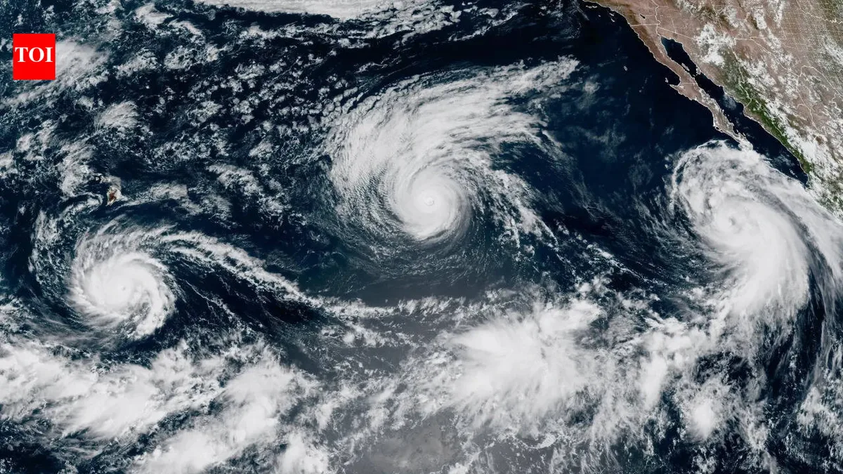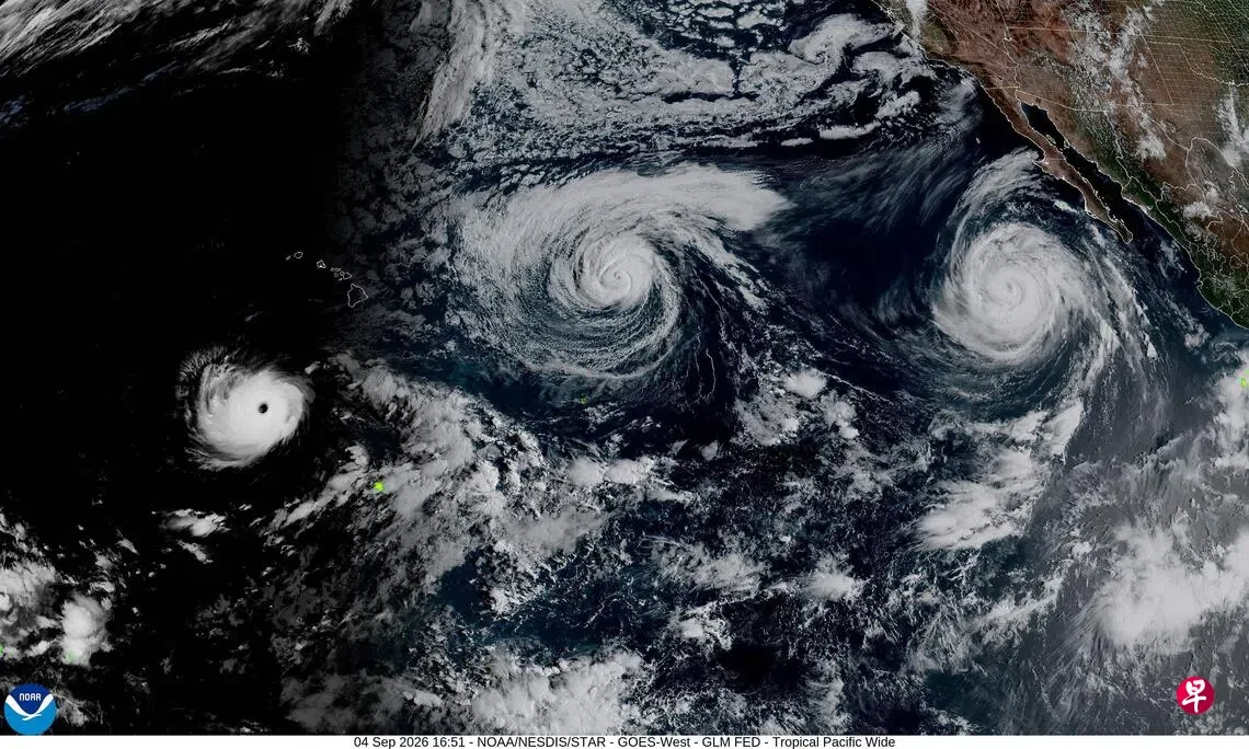
Hurricane Lowell rapidly intensified to a Category 5 hurricane on September 4, with maximum sustained winds near 257 km/h, while its center was about 990 km south of Lihue, Hawaii, according to the National Hurricane Center and local officials [1, 2].
On September 3, Governor Josh Green declared a statewide emergency to prepare for Hurricane Lowell and other storms, mobilizing resources and encouraging local governments to clear drainage systems and ready for flooding and coastal impacts [1, 2, 3].
Forecasts indicate Lowell may turn north or northeast and approach or pass close to the western Hawaiian Islands including Niihau and Kauai. Heavy rainfall up to 25 cm (250 mm), strong winds, storm surge, and large waves are expected, particularly on Niihau and Kauai [1, 2]. The National Weather Service warned that "major coastal flooding is possible in Kauai, while significant coastal flooding could also affect Oahu" [3].
Lowell's intensity has fluctuated between Category 4 and 5 through September 5 and 6, with winds near 150 mph (240 km/h), though the exact track remains uncertain. The National Hurricane Center said confidence in the exact track remains lower than normal, with possible landfall on Kauai or a path well west of the islands, which would greatly affect the severity of impacts [2, 3].
Hawaii National Guard units may be mobilized as emergency preparations continue across the islands [1, 3].
In addition to Lowell, two other Pacific storms are active: Karina, weakening east of Hawaii, and Tropical Storm Marie moving west-northwest away from land [2]. A strong El Niño is contributing to elevated sea temperatures, fueling hurricane activity in the Pacific [2].
Officials will continue to monitor Lowell's path and strength closely over the next several days as it approaches the Hawaiian Islands, with significant weather impacts expected late this weekend into early next week [2, 3].