Europe faced a prolonged cold spell last week as Arctic air pushed temperatures 10-15°C below seasonal averages, causing frosts and chill across the continent [1]. In France, grape growers lit fires to protect vineyards from overnight frosts caused by the low temperatures [1]. Between May 11 and 16, about 750,000 lightning strikes were recorded during thunderstorms fueled by the unstable cold air mass [1].
The UK mirrored this pattern with a cold snap in early May brought on by northerly Arctic winds that held daytime temperatures between 9°C and 14°C, below the typical May norm of 17-18°C [2]. Early this week, the UK weather remained unsettled with showers, thunderstorms, and strong winds, as Met Office forecaster Craig Snell noted: "The first half of this week is still going to be changeable, if not unsettled, across parts of the UK. Temperatures at the start of the week are still a little subdued for the time of the year; as we head towards the weekend, we are expecting to see a change." [2]
From Friday, a large high pressure area will build across western and central Europe, pushing hot air up from North Africa and causing temperatures to rise by up to 15°C compared to the previous week [1]. Spain and Portugal could see highs in the mid- to high-30s Celsius later in the week [1].
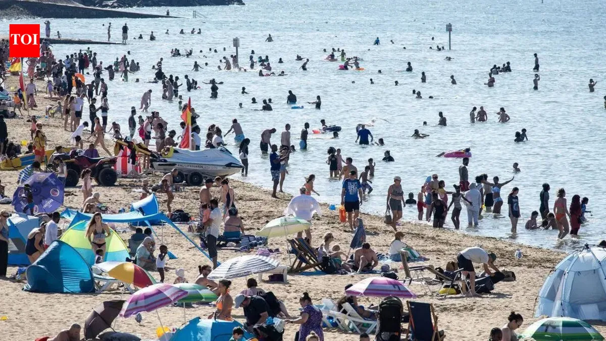
In the UK, temperatures are forecast to rise to about 26°C in the southeast by Friday, warmer than Athens at 25°C and Barcelona at 21°C [2]. Mr. Snell added, "The best of the sunshine across the bank holiday weekend will probably be across England and Wales. Temperatures are still above normal, potentially very warm again, but it's a bit too far in the future to get maximums." [2]
By midweek, UK conditions will become more settled, bringing sunshine and warmer weather through the bank holiday weekend [2]. The seasonal shift comes as low pressure systems in Europe have moved northwest, allowing southwesterly winds to usher in warmer air [1].