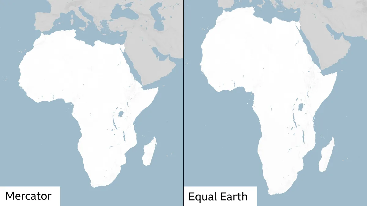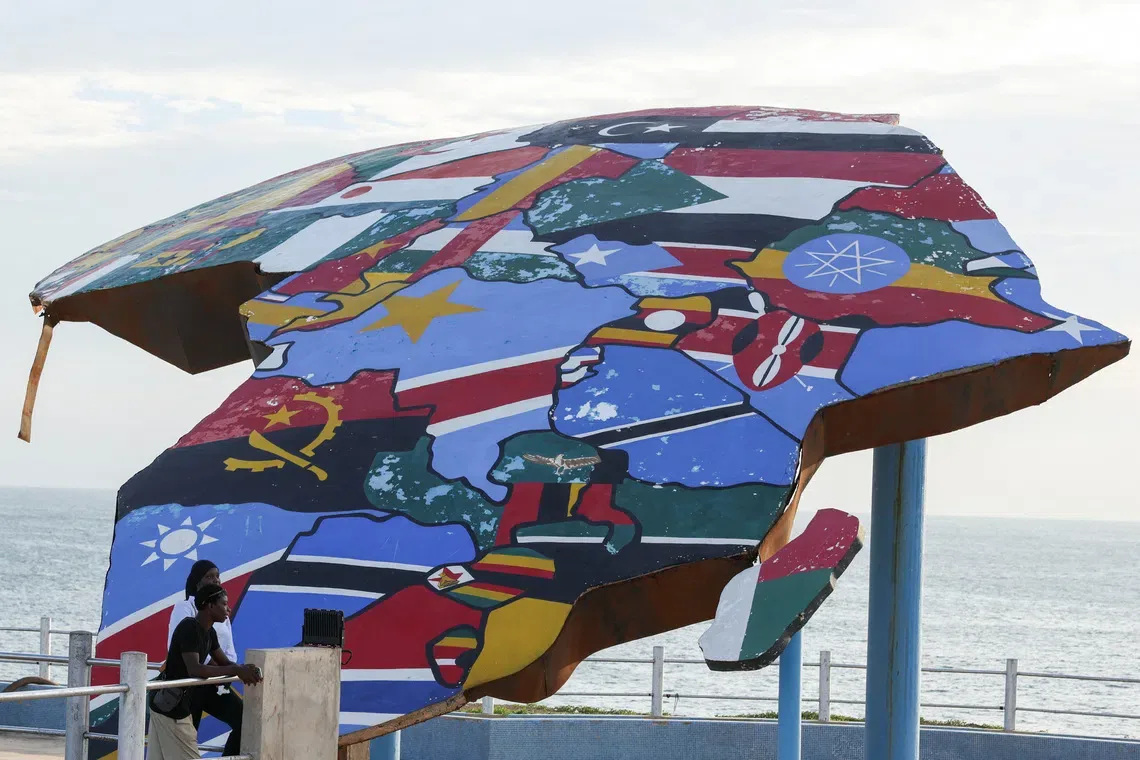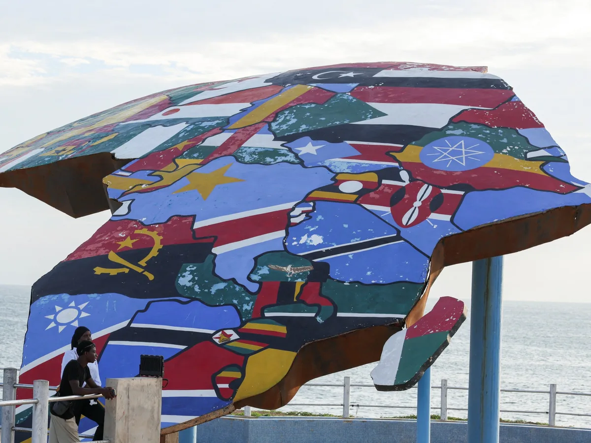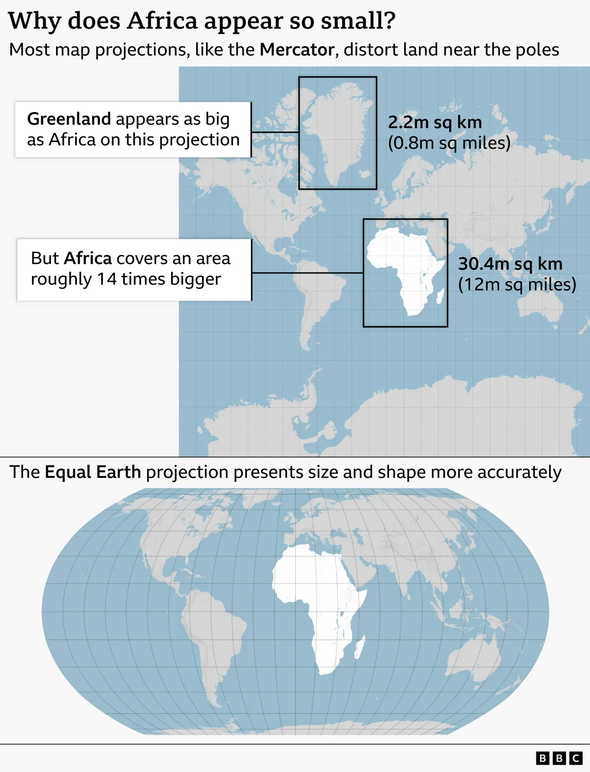
The United Nations General Assembly voted 164 in favor, 1 against (United States), and 6 abstentions to adopt a resolution shifting from the Mercator map to the Equal Earth projection map on September 4, 2026 [1, 2, 3]. The new map projection more accurately represents the relative sizes of continents, notably enlarging Africa, which is about 14 times bigger than Greenland but appears similar in area on Mercator maps [1, 2, 3].
The traditional Mercator projection, created by Flemish cartographer Gerardus Mercator in 1569, was designed for maritime navigation by preserving compass directions but distorts landmass sizes, inflating regions near the poles and shrinking equatorial areas like Africa [1, 2, 3]. Critics say those distortions have shaped global perceptions that underplay the development needs and global stature of countries near the equator [1, 2, 4].
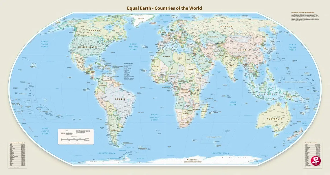
The Equal Earth projection, introduced by cartographers in 2018, is an equal-area map that better shows true continental sizes while preserving recognizable shapes [1, 4]. The resolution to adopt it was sponsored by Togo and backed by all 54 African Union member states. Togolese Foreign Minister Robert Dussey said, "A fair world begins with a fair map," noting that maps "nourish the imagination, and influence collective perceptions," so distorting them risks perpetuating inaccurate views across generations [1, 5].
The United States was the lone country to vote against the resolution. U.S. representative Yaryna Ferencevych said, "Instead of focusing on genuine problems ... this body is debating map projects from the 16th century and their role in promoting reparations and cognitive justice" [6]. Six countries abstained, including Estonia, Georgia, Lithuania, Moldova, Serbia, and Ukraine. Ukraine expressed reservations about how the new map depicts some contested territories it claims [4].
The resolution is non-binding and does not affect the continued use of the Mercator projection for navigation purposes [2, 3, 4]. After the vote, France announced plans to replace the Mercator map in its government materials [4, 6].
Moky Makura, Executive Director of Africa No Filter, said the vote marks a new phase: "Now the real work begins. We want to see accurate maps in schools, textbooks, newsrooms, businesses and on the digital platforms billions of people use every day." [7]
Togo plans to update school geography materials to use the new Equal Earth projection map by the end of 2026 [2].