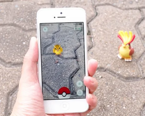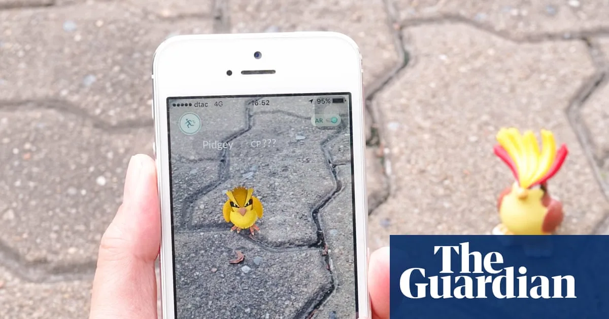
Niantic Spatial, a company formed after Niantic's gaming division was sold in May 2025, used location scan data from Pokémon Go players to train large AI models that recognize and interpret physical spaces [1, 2, 3]. More than 30 billion images collected voluntarily through augmented reality scans captured by players and users of the Scaniverse app went into training the geospatial AI model [1, 2].
In December 2025, Niantic Spatial partnered with Vantor, a firm specializing in spatial detection software for drones, including military models designed to operate in GPS-denied or GPS-jammed environments [4, 2, 3]. The collaboration aims to develop a positioning system allowing ground vehicles and aerial platforms such as delivery robots and drones to navigate precisely when GPS signals are unavailable or unreliable [4, 3].
Vantor Chief Product Officer Peter Wilczynski said, "The modern battle space is going to be complete with different systems, and you’re going to want to upgrade those systems quickly—bringing new hardware online faster than new software" [4]. Meanwhile, Niantic Spatial CTO Brian McClendon explained their Large Geospatial Model helps these systems "perceive, align, and operate in a shared frame of reference—even when traditional GPS signals are lost" [3].
Niantic emphasizes that the AR ground scans used to train the model were gathered with explicit player opt-in and covered by its privacy policy and terms of service at the time [4, 1]. A Niantic Spatial spokesperson said, "Ground scans were an entirely optional feature in games, where users created a short video of a public location" [1]. They also noted that while Niantic Spatial has an agreement with Vantor, "it is still in its very early stages, and sharing this data is not part of the agreement" [2].
The partnership addresses vulnerabilities caused by GPS unavailability, spoofing, interference, and jamming that impact autonomous systems and field teams [4, 3]. Vantor’s expertise targets military drones relying on visual positioning to maintain operation without GPS [4, 3].
Niantic Spatial also has a separate collaboration with a delivery robot company to apply similar positioning technology in urban areas where GPS can be unreliable [2]. The company stresses its commitment to ethical usage and human rights principles around this technology [2].
Pokémon Go, with over 800 million downloads globally, provided a vast user base uploading spatial data voluntarily since Niantic began AR mapping tasks in 2020 and later added incentives with Powered-Up Pokéstops in 2021 [4, 3].
The largest recent development was the December 2025 announcement of the Niantic Spatial–Vantor partnership to advance navigation solutions in GPS-denied environments, continuing efforts started with Niantic’s earlier data collection on physical spaces [4, 2, 3].